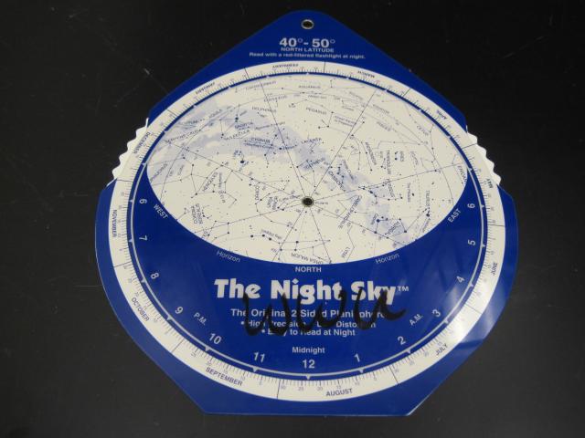
Night Sky Planispheres
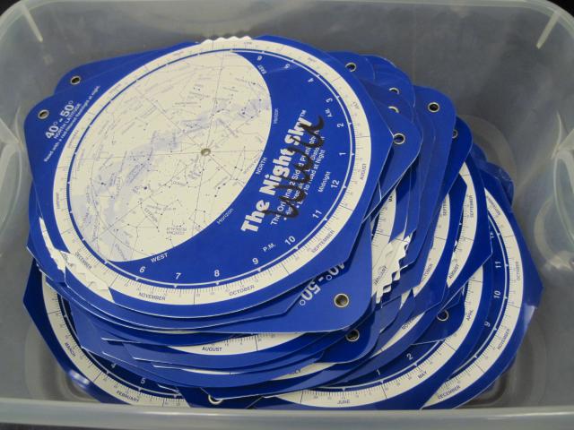
Two boxes of The Night Sky (10" x 8.5") planispheres.
A planisphere, also called a Star Chart or, sometimes, a Star Wheel is a flat multi-part chart that displays the stars visible from a particular latitude for any time and date. Planispheres are produced for specific latitudes because the portion of the sky you will be able to see depends on where you are on the Earth. The farther north you are, the more of the northern hemisphere stars you will be able to see but the horizon will block more of the southern hemisphere. The map projection used for any planisphere is a flat representation of our spherical view of the cosmos. Some distortion of distance, scale, area, etc. always results from this process. In map projections commonly used in planispheres this distortion increases geometrically as distance from the center increases. In conventional planispheres the distortion can be extreme which makes for a confusing and difficult to use star chart. This distortion results from trying to stretch the whole dome of the sky onto a single flat map.
Basic Instructions:
- Find the date on the outer edge of the rotating map dial.
- Find the time on the outer edge of the blue mask.
- Rotate the map dial to align the day with the time.
- Use Standard Time for your location. (If in Daylight Savings time, subtract one hour.)
- To view objects in the northern half of the sky:
- Face North and hold the chart upright in front of you so the word “North” on the blue mask is horizontal. Objects near the horizon line on the planisphere will be low in the sky, near the northern horizon.
- Tilt the chart to the right or left when you face East or West so the word “East” or “West” is horizontal.
- To view objects in the southern half of the sky:
- Face South and, without moving the map dial, flip the chart over and hold the chart upright so the word “South” on the blue mask is horizontal. Objects near the horizon line on the planisphere will be low in the sky, near the southern horizon.
- Tilt the chart to the right or left when you face East or West so the word “East” or “West” is horizontal.
Required Equipment